The historic character of Colonia Benito Juárez is overshadowed by the physical and social energy of two attention-grabbing, more recent developments. Along its northern boundary, the post-modern, glass-faced skyscrapers of the Paseo de la Refoma loom over the mostly two-story buildings of its core. And taking over its mid-section, centered around Calle Génova, is the popular "Zona Rosa", the "Pink Zone", with its mix of up-scale and fast-food restaurants, bars, tourist-oriented shops, hostels and hotels, and the predominately young crowd that frequents them.
 |
| Reforma skyscrapers loom over Colonia Benito Juárez |
 |
| Génova Street, a pedestrian walkway lined with fast-food restaurants, cuts across the middle of the colonia The clipped shrubs spell out "Zona Rosa". |


But if you walk the streets to the east and west of Genova, along Londres, Hamburgo and Liverpool, and the small cross-streets such as Praga, and look past the distractions of commercial uses, you will discover another early twentieth century, European-style neighborhood that originated during the Porfiriato, the thirty-year reign of Porfirio Díaz, and continued to flourish after the Mexican Revolution.


The neighborhood that was to become Colonia Juárez was conceived in the 1870s when Rafael Martinez de la Torre, lawyer, politician and defender of Emperor Maximilian, sought to develop an area west of the Centro Histórico known as the Hacienda de la Teja. It had been divided by Emperor Maximilian in the 1860's when he had the Paseo de la Reforma built to connect his chosen residence, the Castle of Chapultepec, with the Centro Histórico. While its subdivison into two colonias was planned in 1876, due to the death of Martinez de la Torre, this did not move forward. In 1882, Salvador Malo acquired the rights.
 |
| Hacienda land growing agave plants to produce pulque, beer. Chapultepec Castle stands on hill to rear Photo taken about 1875 found on La Ciudad de México en el tiempo The City of Mexico Through Time |
However, it was not until 1898 that the colonia was officially opened, but only a few homes were built. In 1904 its development was taken over by the Mexico City Improvement Company, later called The Chapultepec Land Company, owned by U.S. businessmen who originally called it Colonia Americana. However, on the birthday anniversary of Benito Juárez, March 21, 1906, the city government decided to officially name it Colonia Juárez.
 |
| Neo-classic and Neo-colonial, side by side |
 |
| Quintessential French Second Empire mansion |
 |
| French Second Empire |
 |
| California colonial of the 1920's and 30's |
 |
| Neo-classic mansion |
  |
| More modern, possibly 1930's version of Neo-classic |
 |
| Second French Empire, now a bank |
 |
| Post-modernity... |
 |
| ...towers above the Neo-classic |
And in between the classic and the post-modern, some late twentieth century modern:


Somehow, much in the character of Mexico City, todo convive, it all lives together.

 |
| Colonia Benito Juárez is pie-shaped, Bounded on the north by Paseo de la Reforma on the east by Bucarelli on the south by Chapultepec Ave. and on the west by Chapultepec Woods. Insurgentes Ave. cuts across it. CLICK to enlarge |
Other Posts on the Porfiriato Era
- The Porfiriato: French Culture Conquers Mexico City
- The Grandeza of Porfirio Díaz
- Inside Porfirio's Palace
- Centro Historico Porfiriato - Late Nineteenth Century Mexico City
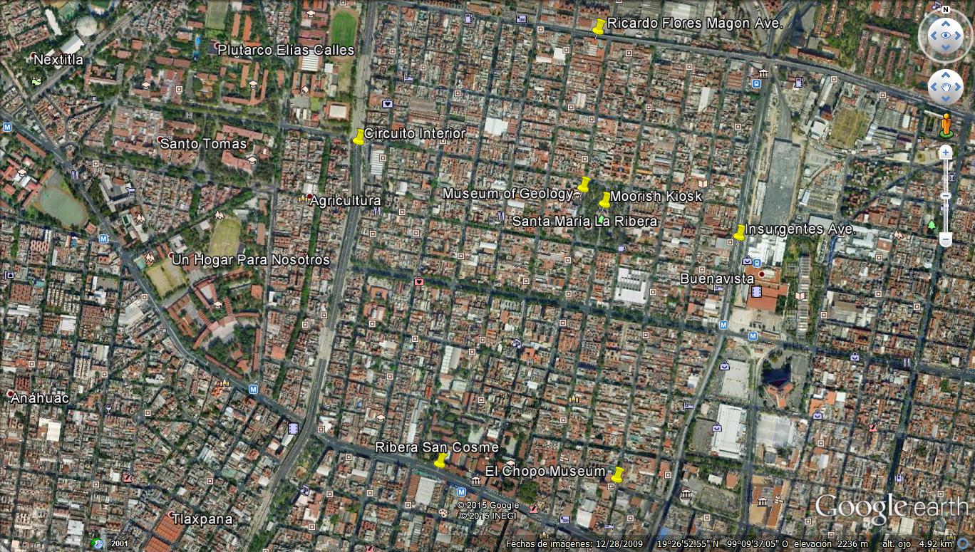
- Colonia Santa María la Ribera: Early Twentieth Century Century Popurrí
- Colonia San Rafael: Decay, Renewal and Restoration
- Colonia Cuauhtémoc: The First Decades of the 20th Century Marry the First Decades of the 21st
- Colonia Roma Norte Part I: Houses—and a Culture—That Survived a Revolution
- Colonia Roma Norte - Part II: Dreams in Stone and Glass...and Paint
- Seeking Restored Vitality: Colonias of the Porfiriato Have Varying Success
- Colonia Condesa and Its Sisters - From Past to Present, Part I - Transition to the 1920's
Delegación Cuauhtémoc
 |
| The "Porfirian" colonias line the west side of Delegación Cuauhtémoc From north to south they are: Santa Maria la Ribera (violet) San Rafael (medium pink) Cuauhtémoc, (medium blue triangle) South of Paseo de la Reforma Benito Juárez (horizontal triangle of three adjacent pink sections) Roma Norte (light blue) (Doctores, to the east, is a separate colonia) Roma Sur (darker blue) And to the southwest (lower left): Condesa (medium pink) Condesa Hípódromo (dark pink) Hípódromo (pale pink) Centro, and its five sub-divisions (Historico, north, east, south, west) is to the right center (almost white) |


